


To be in constant pursuit of what's out there.
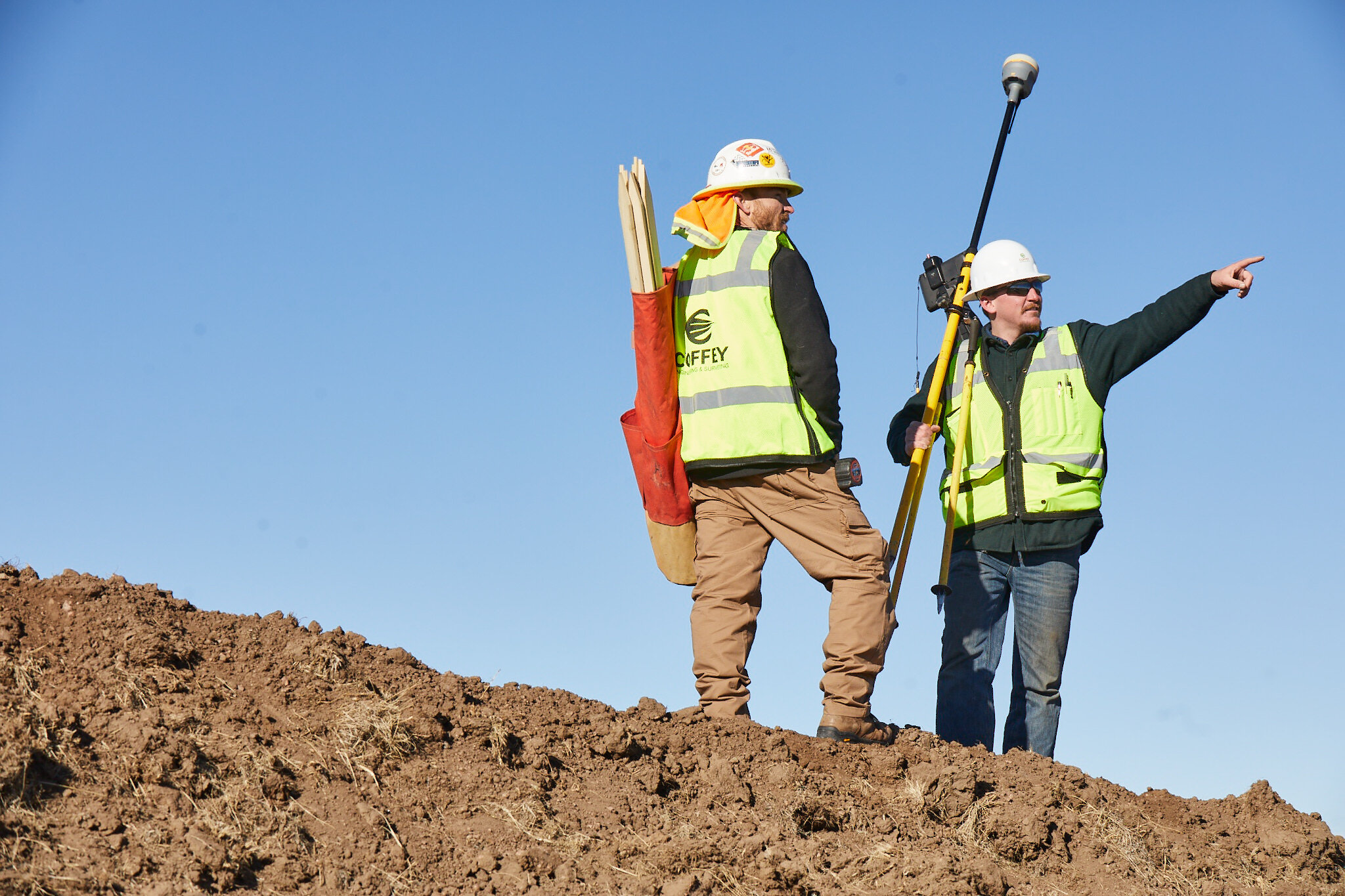
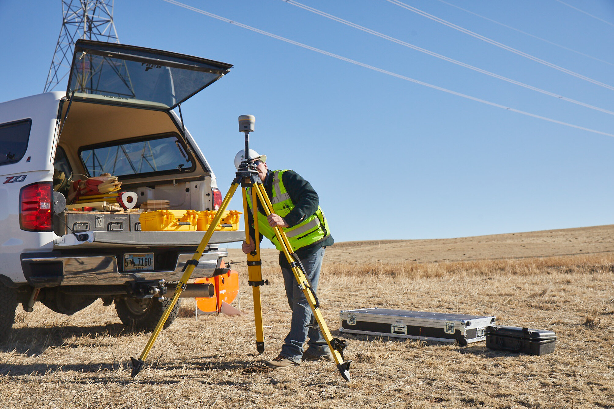
Surveying
Coffey’s talent and tools form a synergy that allows us to consistently provide exceptional service and dependable results. With technology on the forefront, our solutions target a variety of surveying needs.
ALTA land title surveys
As-built surveys
Boundary surveys
Cadastral surveys
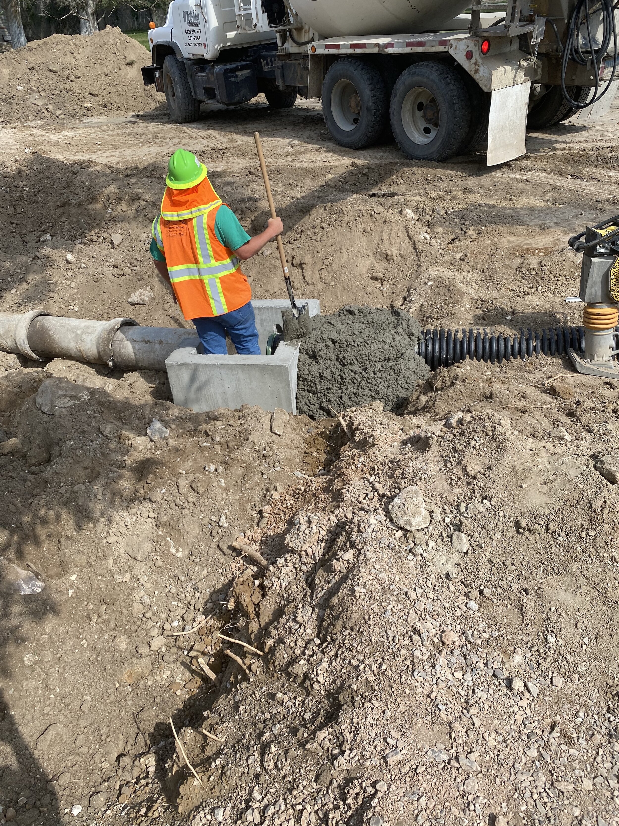
Construction surveys
Control network surveys
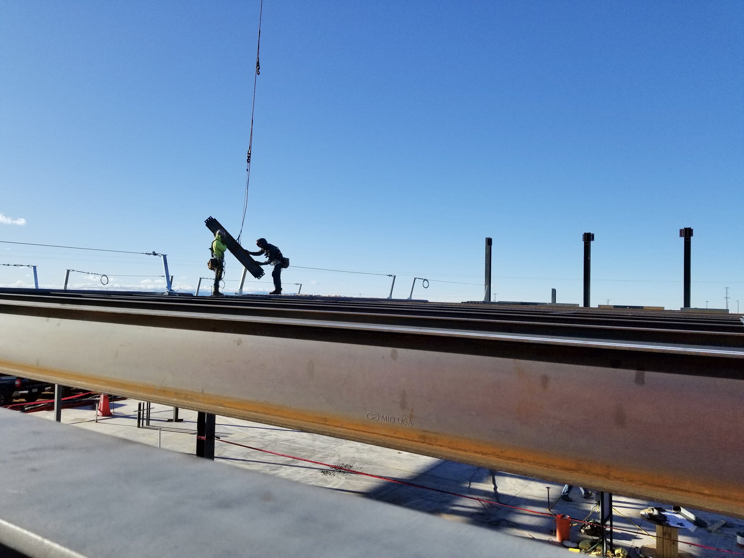
Engineering surveys
Flood elevation certificates
Geodetic/high precision networks
Global positioning system (GPS) surveys
Improvement surveys
Oil well location plats
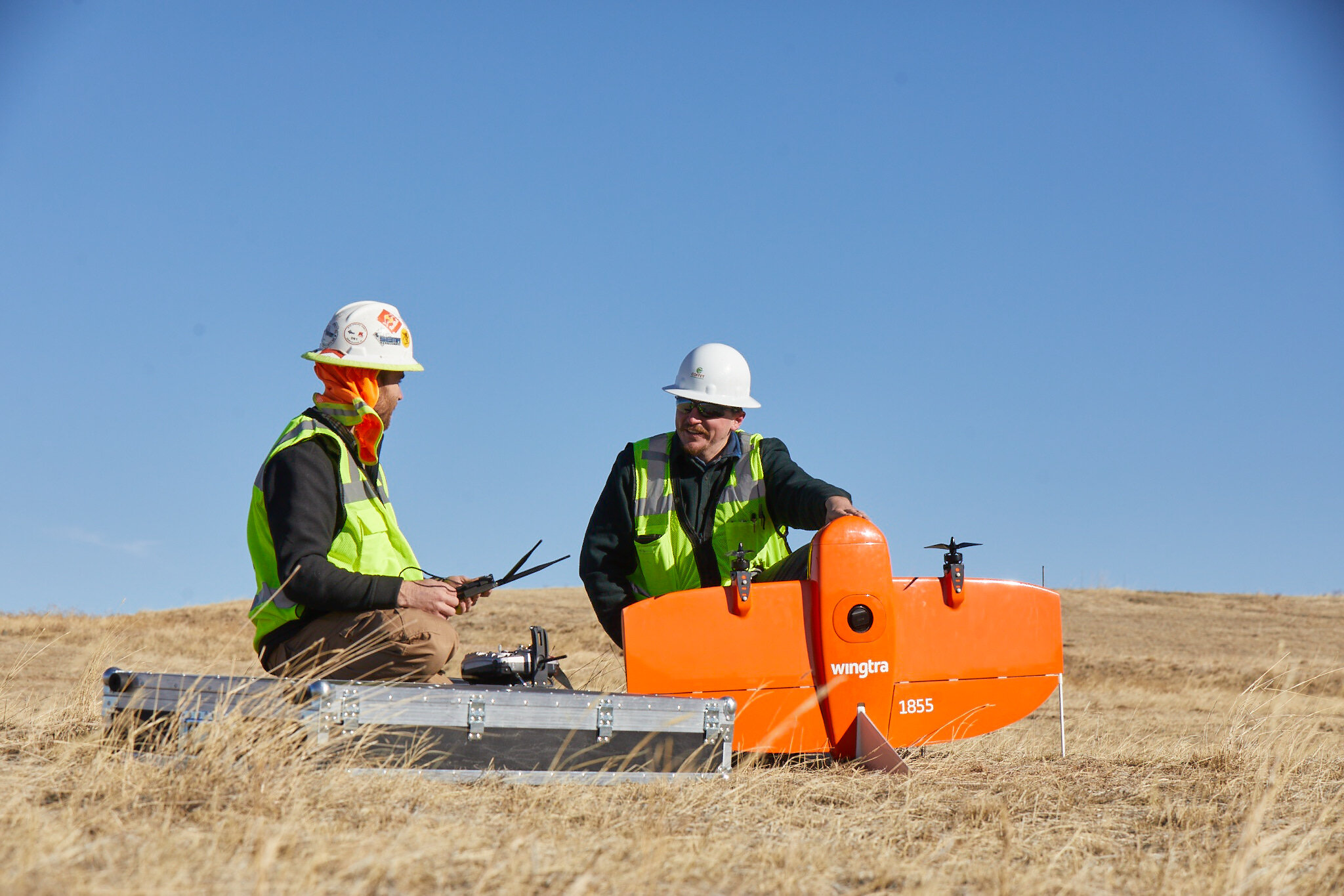
Photogrammetric mapping
Precision measurement Forensic Surveys Expert witness support
Preparation of legal descriptions
Residential lot surveys
Rights-of-way and route surveys
Subdivision maps and plats
Topographic surveys
Utility mapping surveys
Water rights surveys
Architectural surveys
Building information modeling – 3D scanning and modeling
Current conditions surveys
Engineering site surveys
Forensic/accident documentation
Historic preservation
Mining applications
Oil and gas
Project progress surveys
Subsidence monitoring
Transportation infrastructure
Utilities
Volumetric surveys


Scroll over pie chart to see categories.
Types of businesses, 2017.
Source: Point of Beginning.
Informed Approach
As the survey industry sees an increasing number of single-discipline firms, Coffey takes pride in the fully-rounded capability of our complementary services.
Whether the simplest of land surveys or fully engineered systems to follow, Coffey’s team of engineering and surveying experts perform with the finished product in mind.
Leadership
Surveying Team

Dave Coffey, PE/PLS
CEO
“I love the people at Coffey. They are dedicated, energetic, and full of enthusiasm. It is so gratifying to see our staff get positive feedback from clients who are willing to ask us to do more work.”
Featured Surveying Work

Foote Creek Wind Farm
Wyoming’s very first wind farm needed an ALTA survey of 650 acres in less than 30 days and they needed it done well.
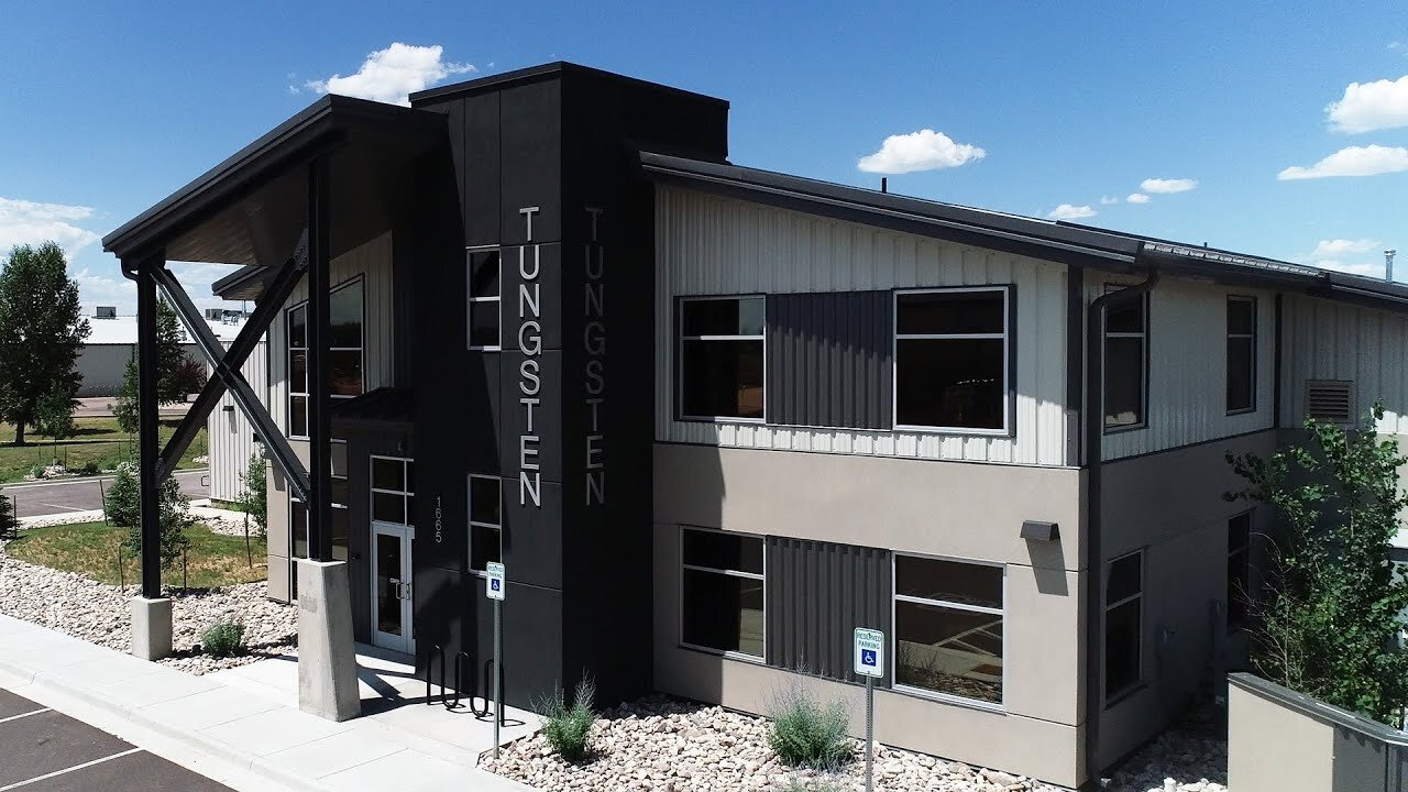
Tungsten Heavy Powder
Coffey provided topographic and utility surveying as well as engineering services for the Tungsten Heavy Powder and Parts Building.
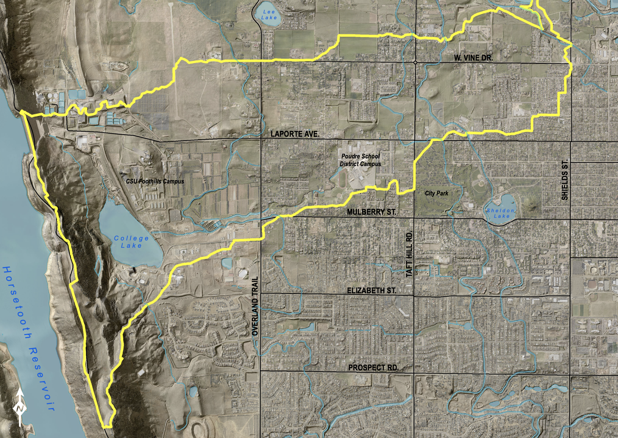
After the floods that occurred in 2013 across the Southwest region of the US, new floodplain maps are being created by the state of Colorado and the Federal Emergency Management Agency. Floodplain maps started as a record that was only updated every 30 years, but it is now possible to update daily.